Gugla-Längenschnee_C (VS)
Landslide
Elevation: 2950-3100m - Massif: Valais Alps (Mischabel) - Commune: St-Niklaus (VS)
The motion of this landslide, located at an altitude of about 3000 m a.s.l. on the western slope of the Gugla summit, has dramatically increased in 2018. In situ survey is permanently undertaken by means of a first GNSS station installed in 2016. Permafrost is likely to occur in the whole moving mass. A bit southward occurred a large landslide already in 1959, which caused the evacuation of the hamlet of Herbriggen.
-
Measurements and observations
Geodetic (GNSS)
Webcam -
Figures
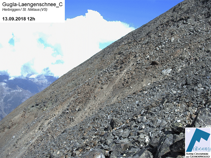
Timelapse based on selected webcam images.
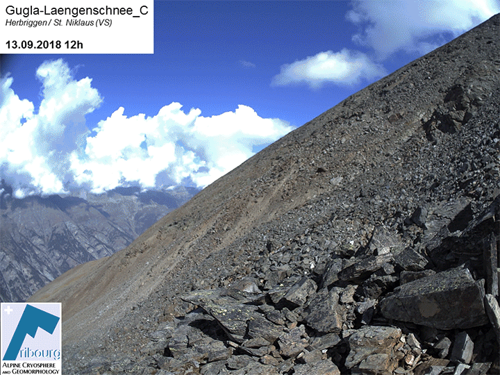
Timelapse based on selected webcam images.
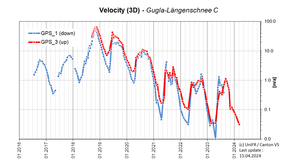
3D surface velocity derived from permanent GNSS stations.
-
Collaboration
Gemeinde St-Niklaus
Kanton Wallis – Dienststelle für Wald, Flussbau und Landschaft (DWFL)
Geosat SA
ID electronic SA
-
Publications